Alpe Canale, from Sant’Andrea to Mot

Edited by:
Marco Bonati
Updated at: 01/09/2026
Access
From Milan to Novate Mezzola along the SS36b; just past the railway station, go under the tracks and take the “Trivulzia” provincial road. Continue on to Era (a hamlet of Samòlaco) and, as you enter the village centre, you will reach the square in front of the parish church: here, a small sign points towards “Sant’Andrea al Mot”. A few hundred metres of tarmac road lead to a lay-by (with limited parking) where unauthorised vehicles are prohibited from proceeding further.
Introduction
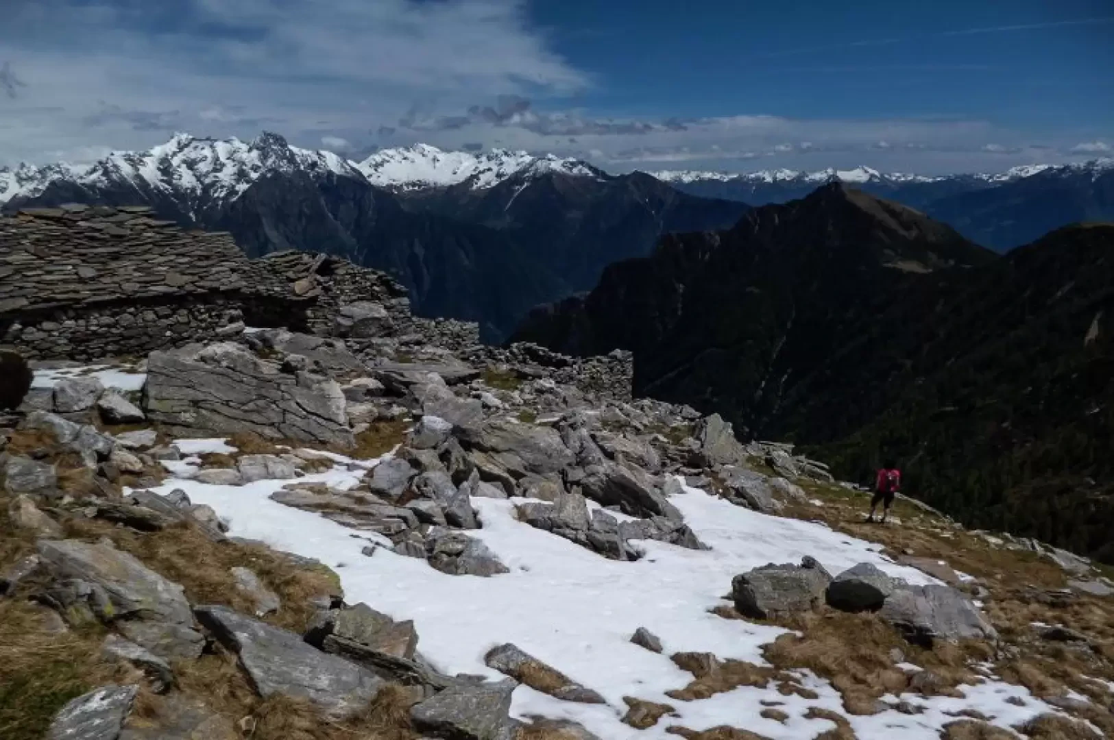
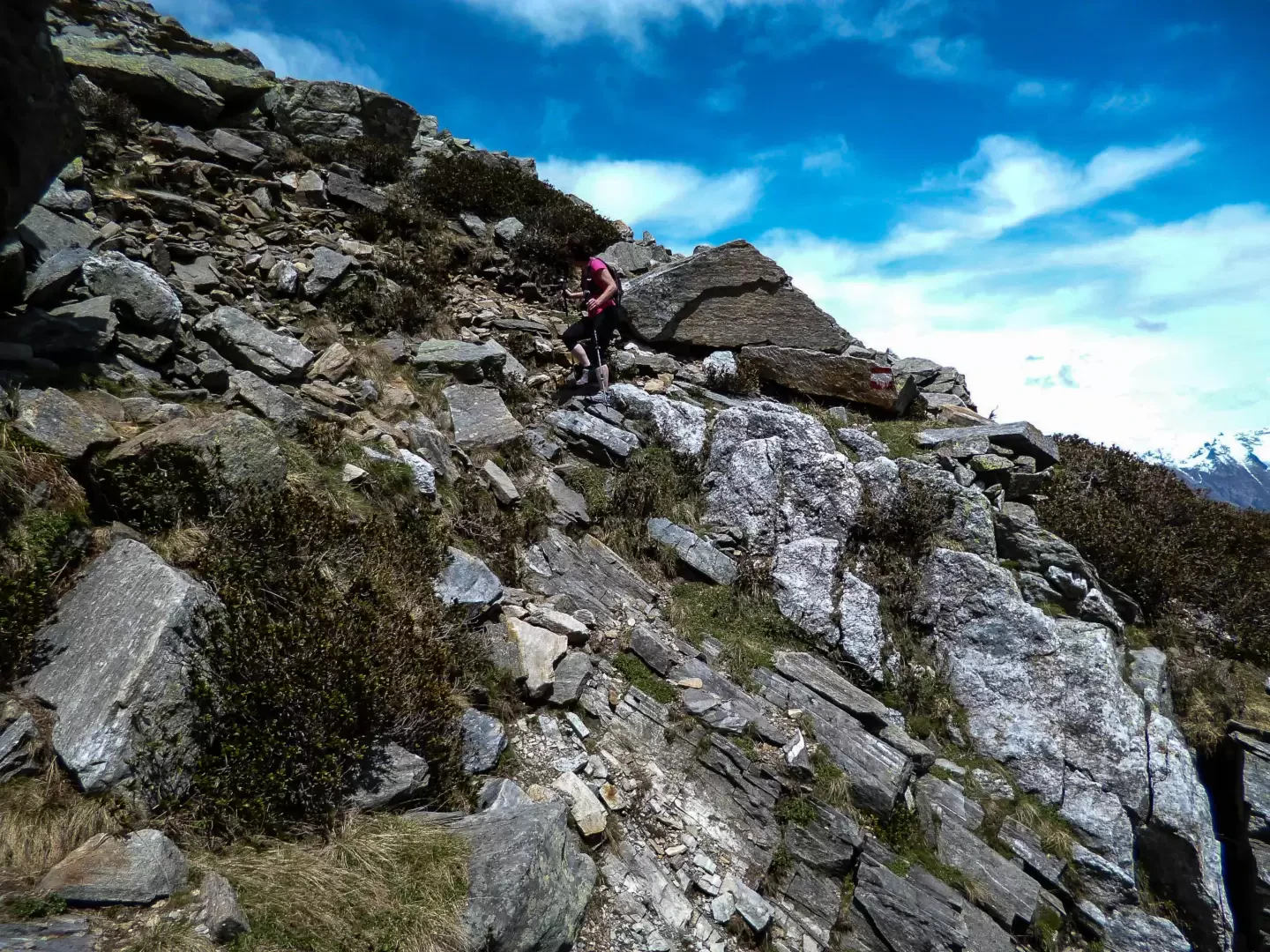
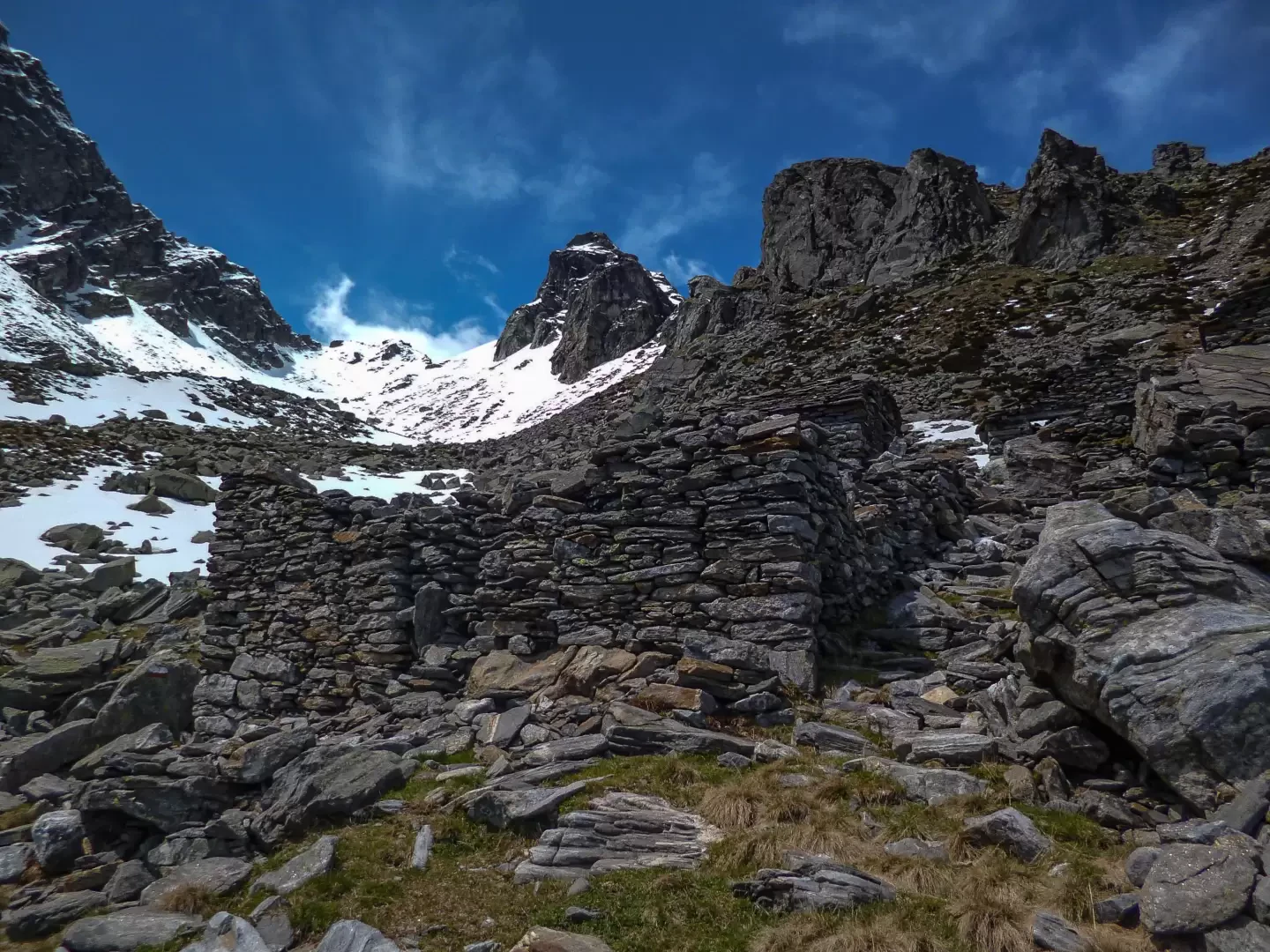
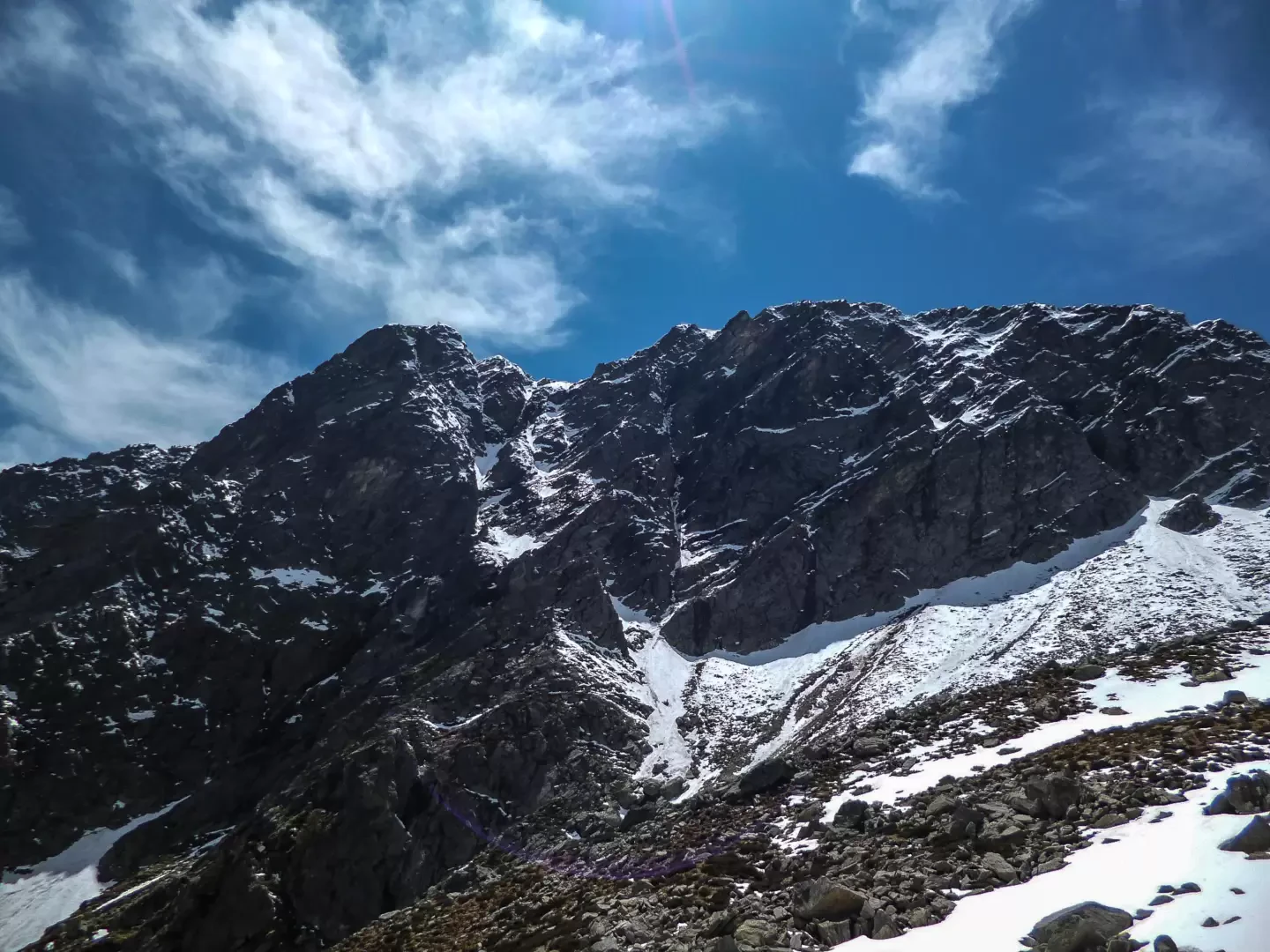
A little-known hike that takes you to remote and abandoned mountain pastures in an extremely wild and rugged landscape: you find yourself in a rocky basin dominated by the northern face (probably never climbed) of the well-known Sasso Canale. The route – despite being rated T4 for difficulty – never presents technical difficulties exceeding T3, but a long stretch through a dense beech forest poses significant navigation problems: the extreme scarcity of the very old painted markings and the presence of animal tracks mean it is advisable to build cairns at changes of direction, partly to make the return journey easier.
Description
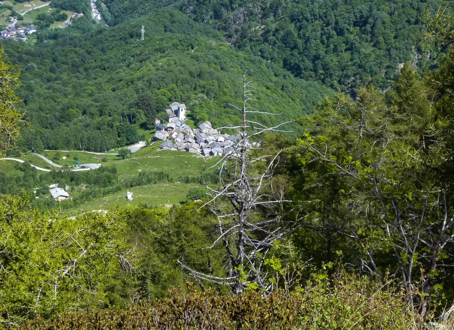
From the small square, approximately 380 metres out, at the start of the Via Crucis which climbs up to the church of Sant’Andrea al Mot, you follow the long (4.5 kilometres) and monotonous climb along the tarmac forest track leading to the mountain pasture of Paiedo (886m)
[Some maps and an old hiking guide suggest taking a shortcut which, in reality, is no longer recognisable on the ground.]
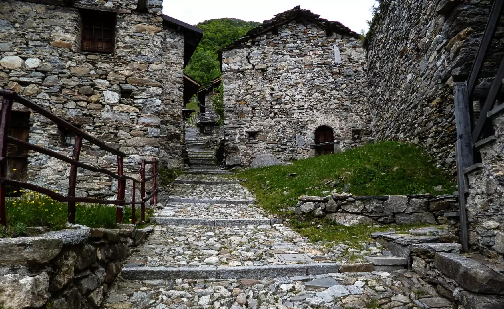
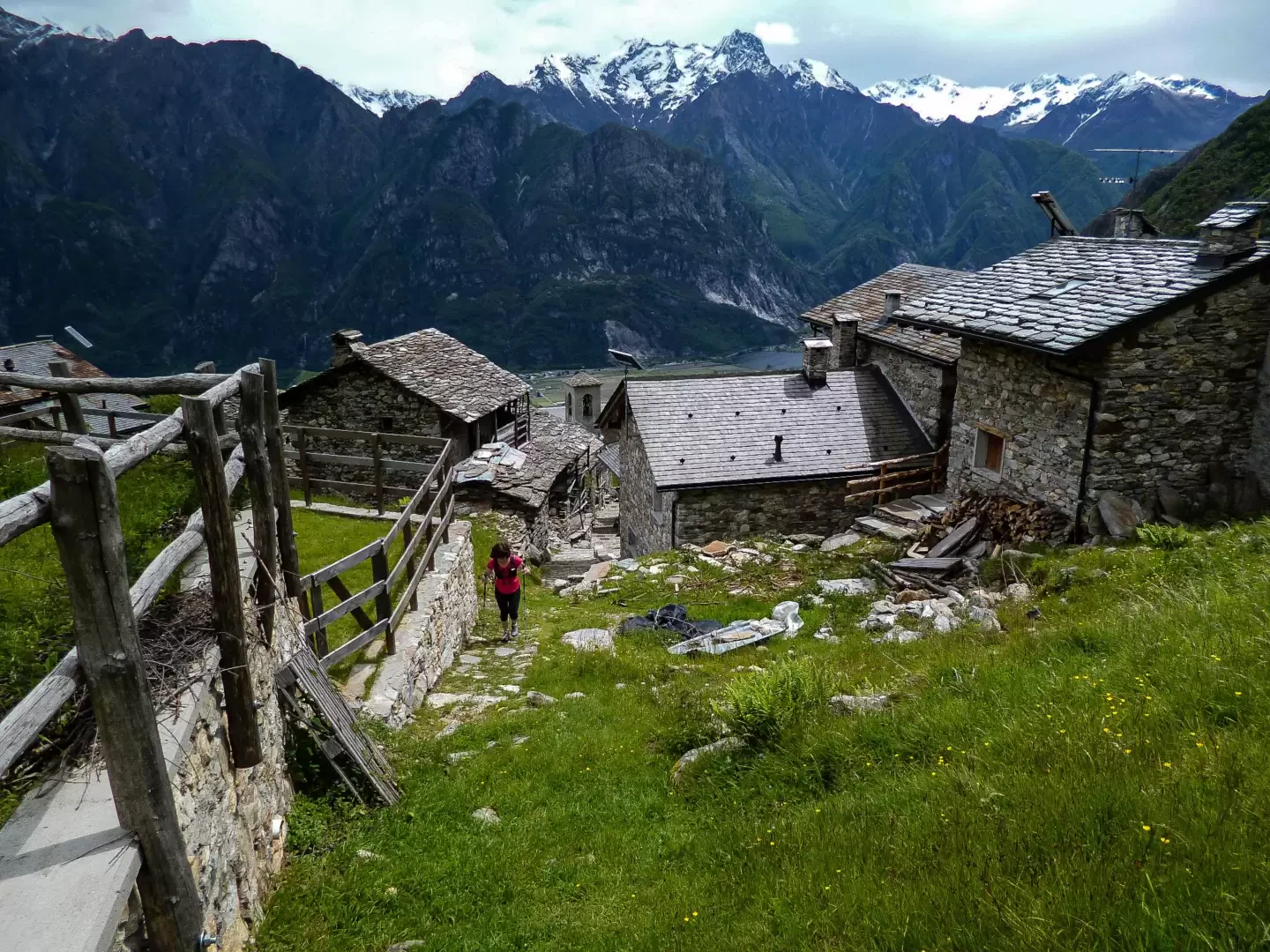
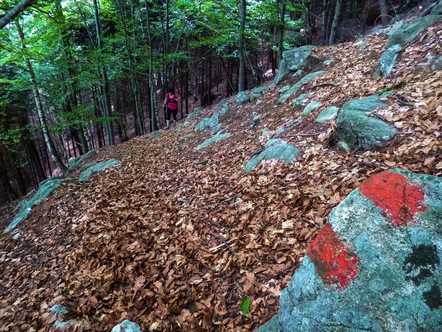
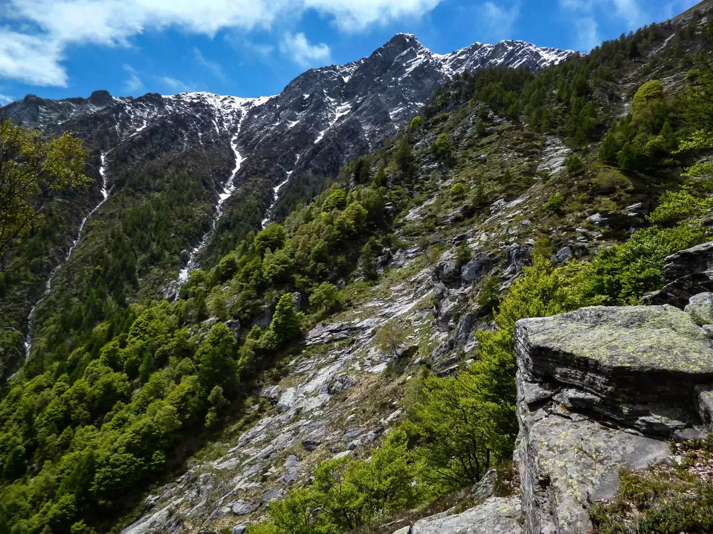
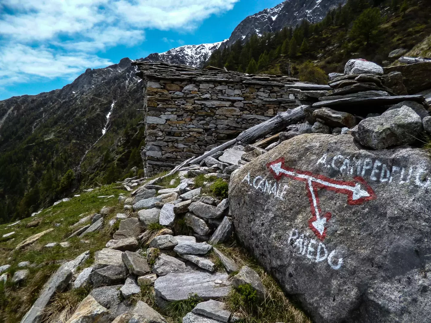
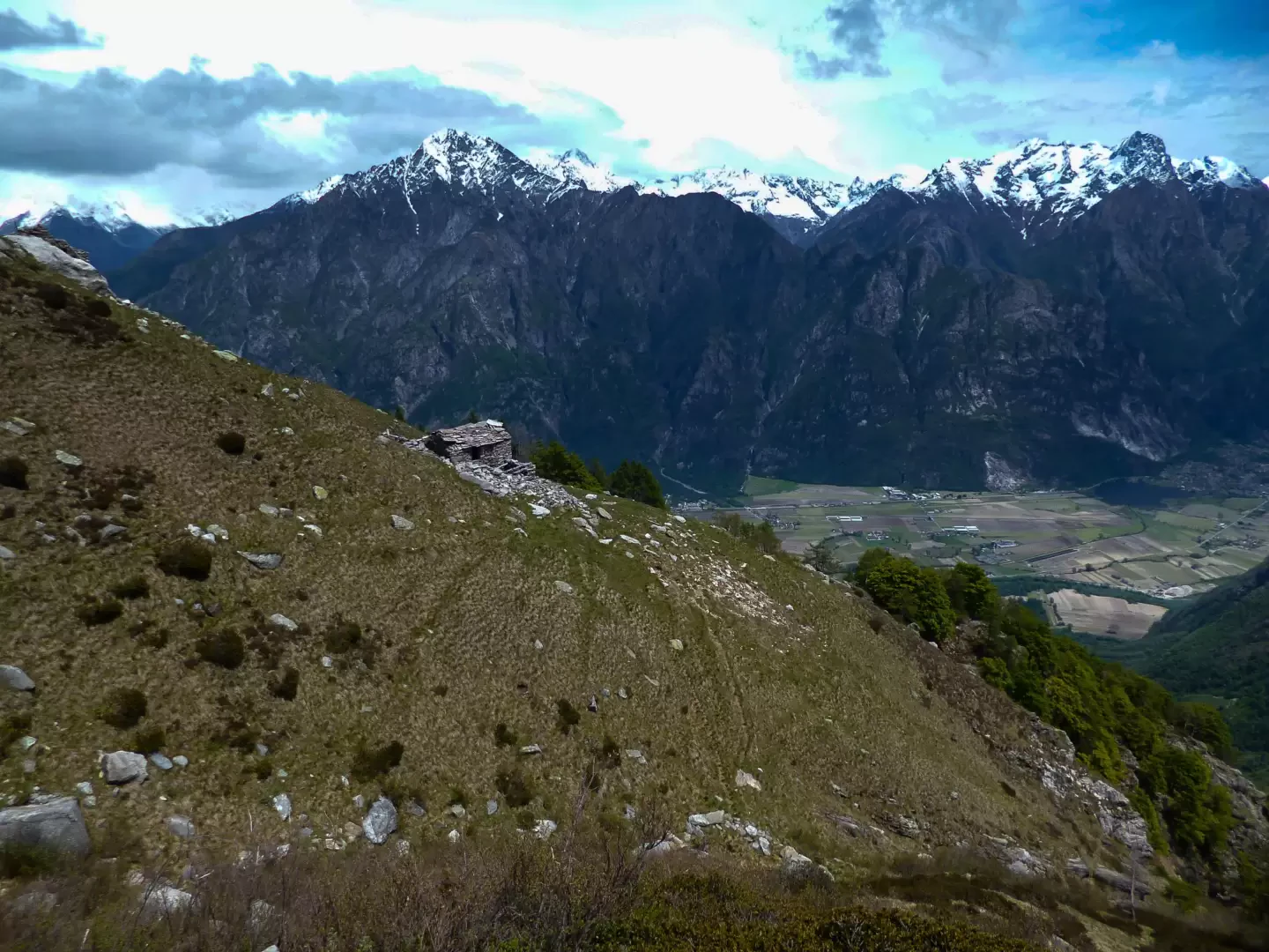
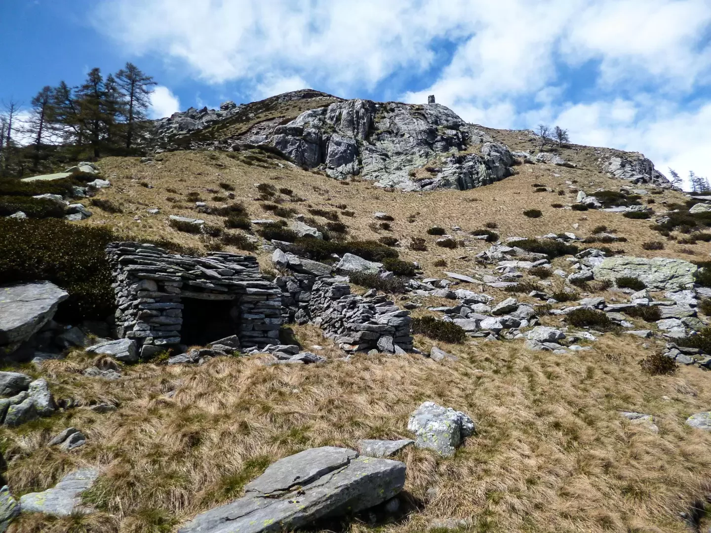
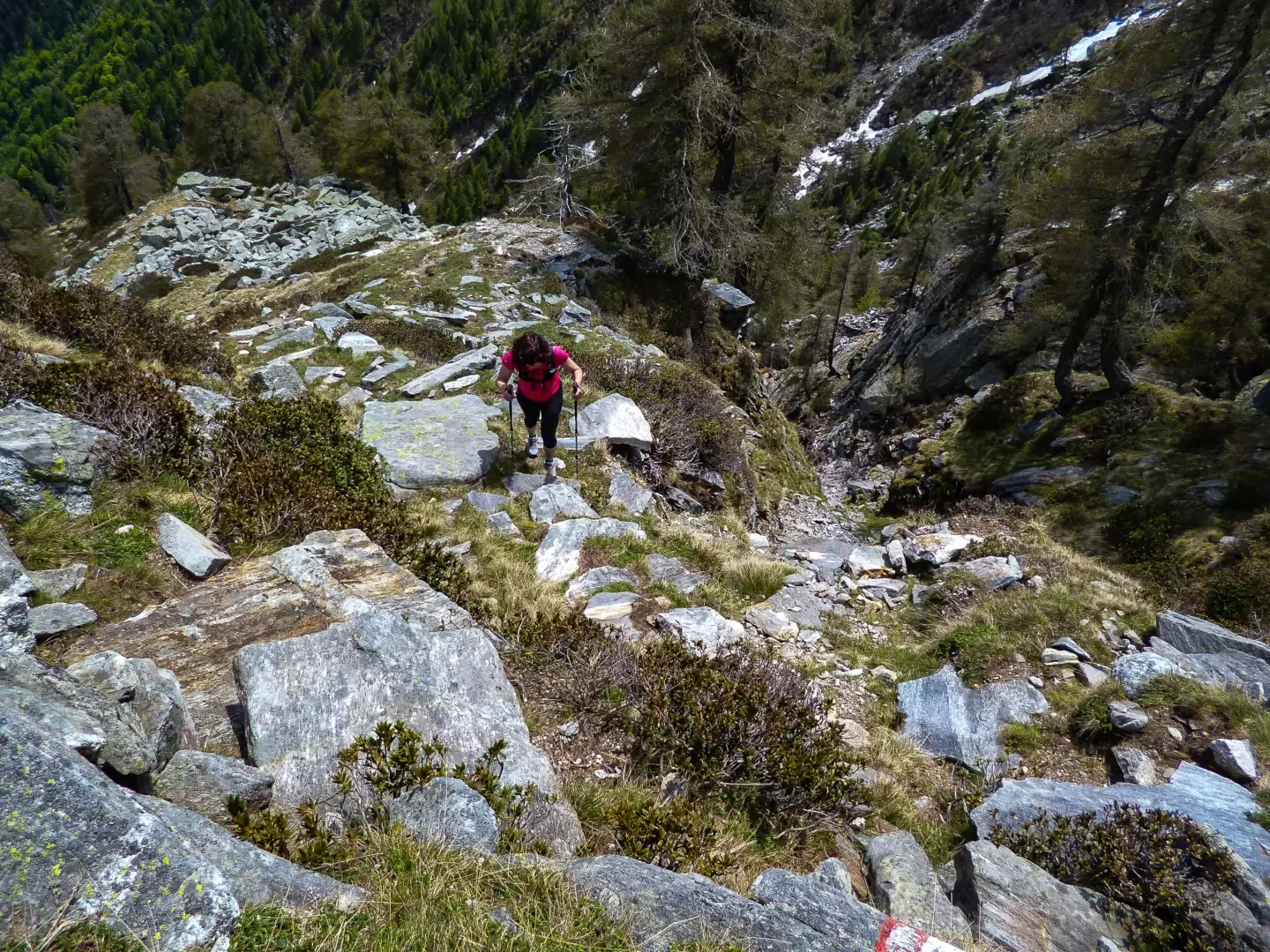
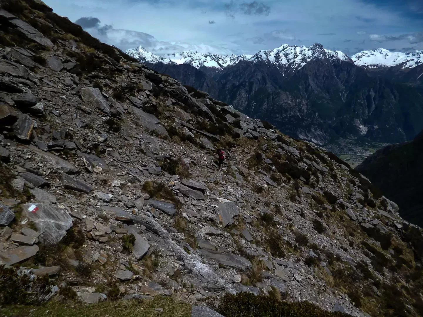
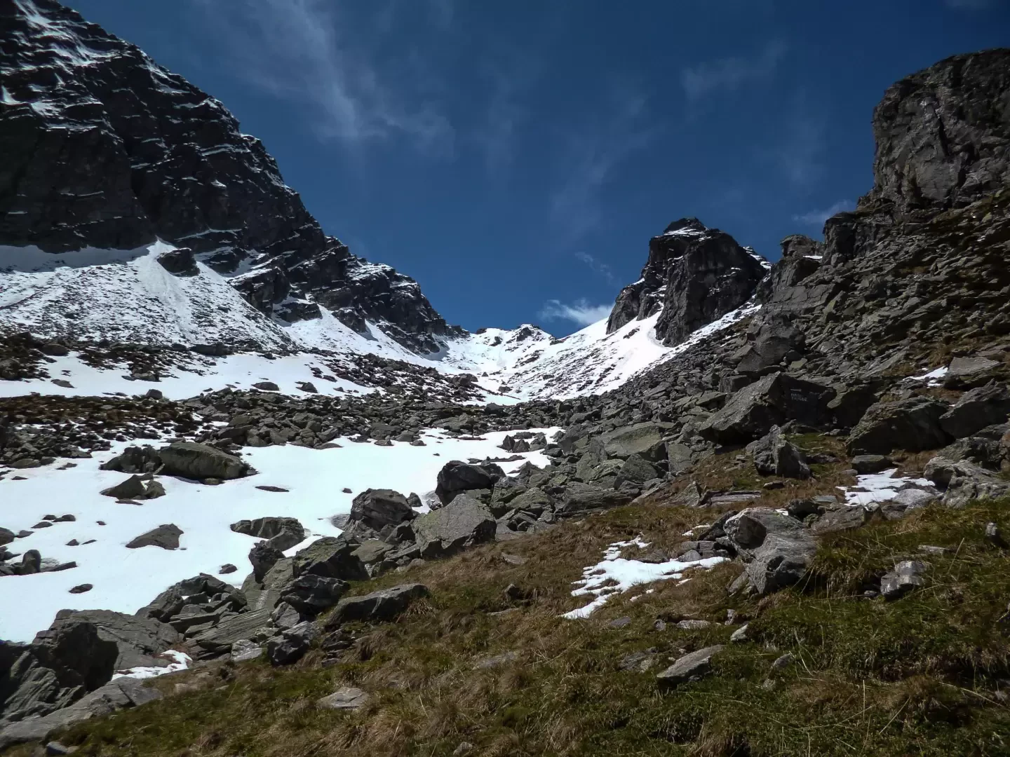
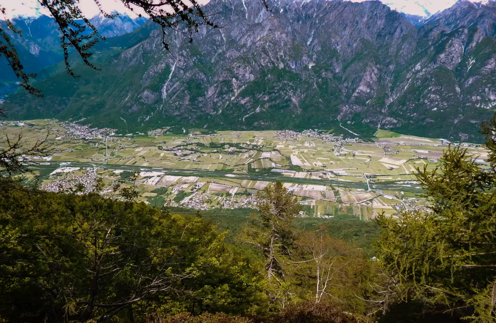
After a visit to the ancient cluster of stone houses (notable for its two monolithic fountains), continue along the road – now narrower and, in places, tarmac-surfaced – to the hamlet of In Cima ai Prati (1,109 m): from here, follow a faint track through the grass heading south, entering the first centuries-old beech trees. As the forest thickens, it becomes difficult to find your way: by carefully following the long sequence of steep hairpin bends and avoiding the numerous false turns caused by hoofed animals’ tracks, you emerge once more into a brighter setting, on a rocky ridge (a continuation of the wooded slope you have just traversed) at the edge of a rocky valley (Valle Casenda). High above, the solitary hut of Alpe Cortesella (1,636 m) is already visible: you reach it via an unmistakable stony path where the painted markings have unexpectedly reappeared. The path continues diagonally towards the south-west, gradually entering the valley below Sasso Canale: with the climb now less steep and aftercrossing a few sections prone to rockfalls – past a makeshift hut and a tall cairn – you reach a vast rockfall of boulders that conceals what remains of the huts on the isolated Alpe Canale (1,925 m).
Return via the same route.
Places of Interest
Church of Sant’Andrea al Mot
In Cima ai Prati
Alpe Cortesella
Alpe Canale
Collections
Photo gallery
Comments (0)
Sign in to leave a comment