Visey-Dessous

Introduction
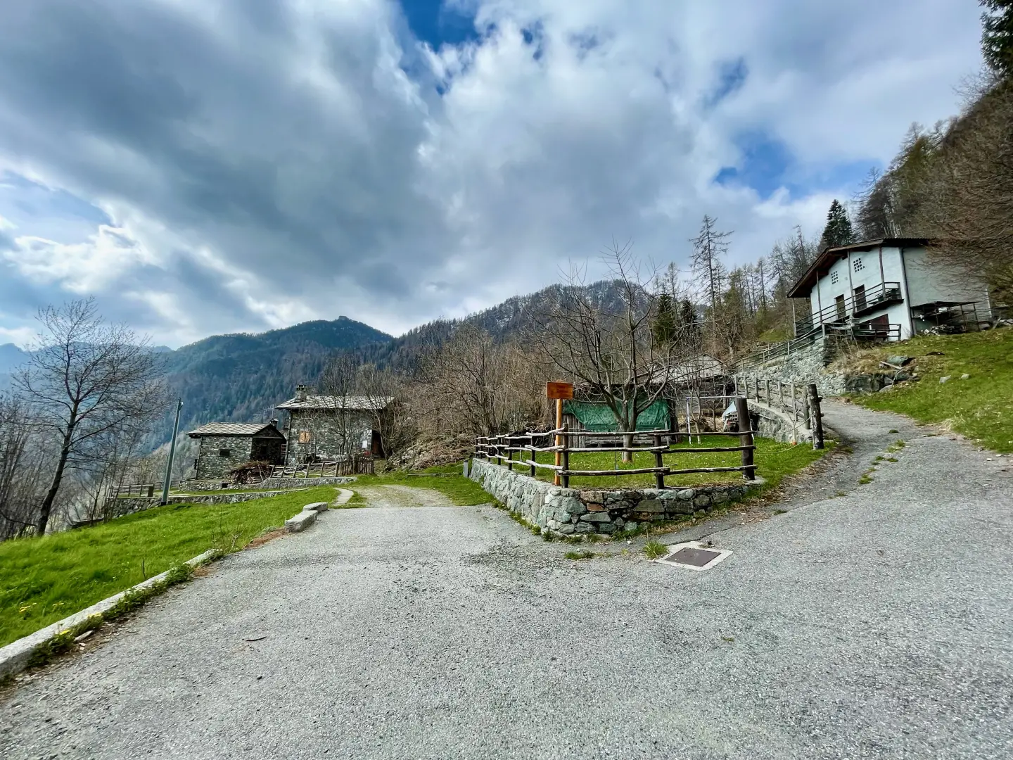
The village of Visey-Dessus lies in a mountainous setting at an altitude of 1,428 metres, higher than the centre of Issogne (387m), from which it is reached by a difference in altitude of over 1,000 metres. Once linked to the agricultural and pastoral life of the community, today it is preserved as a testimony to the rural alpine settlement, nestled in the folds of the Vallone del Boccueil and immersed in the authentic nature of the valley.
Description
The village is in an elevated position and can be reached via an ancient mountain path - once a mule track - that from near the centre of Issogne gradually ascends towards the higher hamlets. This path, now restored and signposted, is characterised by panoramic and steep stretches, typical of the rural communication routes of the past.
The village, as a traditional settlement, is part of the alpine historical memory: a portion of territory where agro-pastoral activities were once carried out and which today attracts attention for its landscape and cultural value. Visey-Dessus serves as the starting point for various hiking itineraries, such as the Vertical Issogne-Visey, an uphill race that starts from the Issogne square and arrives here after about 5km and 1,000m of elevation gain.
From the village, other trails branch off: one leads to Alpe L'Aveuil (1.717m) with a short hike of about 55 minutes; another continues towards Brenves and the alpine pasture, gradually becoming part of the Mont Avic Park and offering evocative natural settings with views of Monte Rosa on a clear day.
Visey-Dessus represents a link between the rural past of the Aosta Valley and the hiking and naturalistic present. Although no longer inhabited as it once was, it retains the identity of Alpine hamlets where daily life was shaped by simple rhythms and direct contact with nature. Thanks to its location, it is now a point of reference for hiking and trail running enthusiasts and for those who wish to immerse themselves in the Alpine heritage far from mass tourism.
The traditional access route starts from the main square of Issogne (387 m), following a path that passes through the high hamlets, skirts the hydroelectric power station and climbs up to Visey-Dessus (1 428-1 430 m). The trail is now part of the municipal hiking network, with various access points allowing you to explore the slopes and hamlets of the valley.