Sicily

Edited by:
Massimo Martini
Access
Sicily is connected to the mainland via the Strait of Messina, with continuous maritime services between Villa San Giovanni and Messina. The regional motorway network includes the Messina-Catania-Siracusa motorway, the Palermo-Catania motorway and the Messina-Palermo motorway, the main axes of internal mobility. The primary road network is guaranteed by state highways such as the state road Settentrionale Sicula, the state road Orientale Sicula, the state road Sud Occidentale Sicula and the state road Catanese, supplemented by a network of regional and provincial roads that ensure connections with the internal areas.
The railway network, managed by Rete Ferroviaria Italiana, runs along the Tyrrhenian and Ionian coasts and on the Palermo-Catania-Messina axis, with secondary lines to Agrigento, Caltanissetta and Syracuse. The main airports are Palermo Falcone e Borsellino airport, Catania Fontanarossa airport and Trapani Birgi airport; there are minor airports in Lampedusa and Pantelleria. The ports of Palermo, Catania, Messina, Augusta and Trapani perform commercial and passenger functions. There are no international land crossings; connections with foreign countries are by air and sea. Seasonal criticalities may affect the internal mountain road network and accessibility to the minor islands in the event of adverse weather conditions.
Introduction
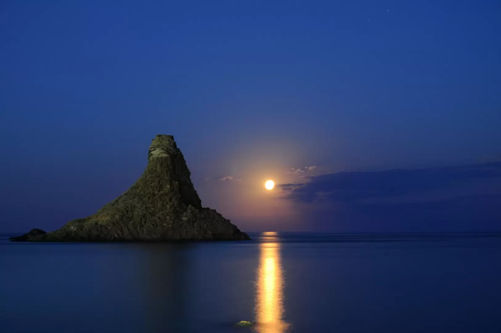
The Sicily is an autonomous Italian region with a special status located at the southern end of the peninsula, in the centre of the Mediterranean Sea. It is the largest Italian island and the largest in the Mediterranean basin, separated from Calabria by the Strait of Messina. The territory includes the main island and several smaller archipelagos - the Aeolian, Egadi, Pelagie, Pantelleria and Ustica - with a marked coastal and morphological articulation.
The territorial configuration is predominantly hilly and mountainous, with reliefs concentrated in the northern and eastern sectors and wide coastal plains in the Catanese and Trapanese areas. Over time, its geographical position has determined a strategic role in Mediterranean trade and historical processes, profoundly affecting the settlement and cultural structure. Since 1946, Sicily has been endowed with special autonomy, with its own legislative powers. In the national excursion system, it represents an area of primary importance due to the presence of Mount Etna, the Sicilian Apennine mountains and an articulated system of protected land and marine areas.
Description
The Sicilian territory has a complex orographic structure, resulting from the interaction between Apennine systems, carbonate plateaus and active volcanic apparatuses. In the north-eastern sector is the Sicilian Apennines, articulated in the Peloritani, Nebrodi and Madonie groups, consisting mainly of Mesozoic and Cenozoic metamorphic and sedimentary rocks. Etna, the highest regional relief and the main active European volcanic edifice, dominates the alluvial plain of Catania.
The central belt is characterised by clay and chalky-sulphurous hills (Monti Erei and the sulphurous plateau), while the south-eastern sector is occupied by the calcareous Hyblean plateau. The coasts are differentiated: high and articulated on the Tyrrhenian side, lower and sandy along the Strait of Sicily, jagged and with basaltic promontories on the Ionian side.
The hydrography is made up of torrential watercourses, including Simeto, Salso, Belice and Alcantara. The natural basins are limited; Lake Pergusa is the main inland lake. The minor islands present a diversified geological origin: volcanic in the Aeolian Islands, Pantelleria and Ustica; calcareous in the Egadi and Pelagie Islands.
In terms of settlement, the region shows a strong coastal concentration, with main urban poles in Palermo, Catania and Messina, and a network of medium-sized centres distributed in the inland areas. The traditional agricultural economy (cereal, citrus and wine-growing) is integrated with localised industrial activities and the advanced tertiary sector in the metropolitan areas.
The network of protected areas includes regional parks, terrestrial nature reserves and numerous marine protected areas, protecting coastal, volcanic and mountain ecosystems. Hiking is significant in the Etna, Madonie and Nebrodi mountains, with a network of trails that is gradually being consolidated. Environmental criticalities remain linked to coastal land consumption, water resource management and seismic and volcanic risk.
Information
Capital: Palermo
Area: 25,832 km²
Minimum altitude: 0 m
Maximum elevation: 3,403 m - Mount Etna
Number of inhabitants: 4,776,950 (30 November 2025)
Name in dialect: Sicìlia
Name in Italian: Sicilian
Municipalities: 391 - list of municipalities - map
Provinces: 9 - province list - map
Bordering regions: none
Bordering states: none
Official website: www.regione.sicilia.it
Natural Environment
protected areas - map
- Etna Park
- Madonie Park
- Nebrodi Park
- Zingaro Reserve
- Cavagrande del Cassibile Oriented Nature Reserve
alpine pastures - map
- Pianofatturaglia Plateau
- Piano provenzana
- dead dam
mountains and passes - map
- colle san pantaleone
- portella della ginestra
- valico di montescuro
lakes - map
- lake of pergusa
- lake dirillo
- lake ogliastro
lakes - map
over 3000m
- etna
over 1500m
- mountain soro
- pizzo carbonara
Cultural heritage
- Villages - map
- cefalù
- erice ragusa ibla
- savoca
- castle of donnafugata
- castle of lombardia
- castle of ursino
- cathedral of cefalù
- cathedral of monreale
- duomo of syracuse
- sanctuary of tindari
- sanctuary of gibilmanna
- sanctuary of the madonna of tearsI
Highway facilities
- highway facilities - map
- mountain scuderi bivouac
- timparossa bivouac
- refuges - map
- savoury refuges
- citelli refuges
- galvarina refuges
Tourisms
hiking - map
mountain biking - map
snowshoeing - map
ski touring - map
trail running - map
hiking - map