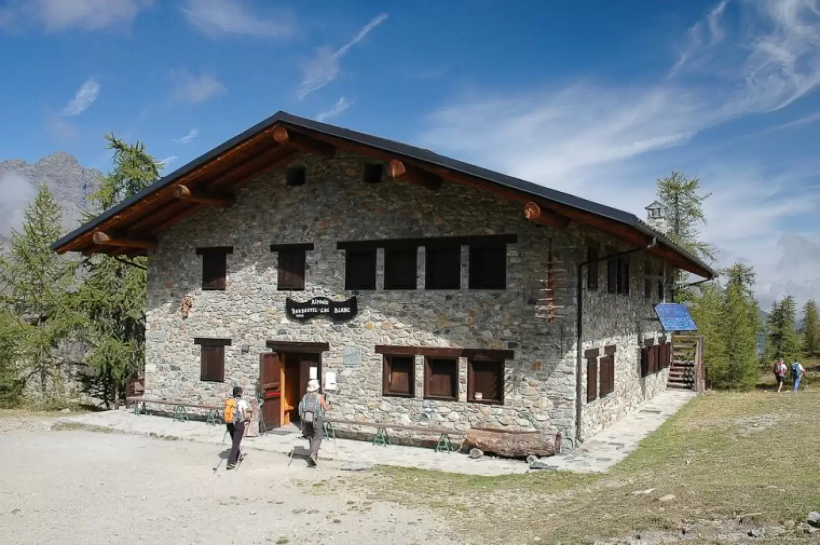
Barbustel Refuge

Access
The main access is from Champdepraz, in the lower Aosta Valley. After reaching the village of Covarey, home to the Mont Avic Park visitor centre, continue along the farm road that climbs to Veulla, where there is a car park. From here, the signposted path starts, leading to the refuge in about 2 hours and 30 minutes, through coniferous forests and alpine pastures until reaching the lake plateau.
A second access is possible from the Cogne valley through the Pila valley, but this is a longer and more demanding route, suitable for trained hikers and often included in traverses lasting several days.
Introduction
The Barbustel Refuge is located in the heart of the Mont Avic Natural Park, at an altitude of about 2,200 metres, in a panoramic position between the Champdepraz valley and the Cogne valley. It is an important reference point for hiking in this part of Valle d'Aosta, not only as a stage of longer traverses, but also as an intermediate destination of ring routes that touch Alpine lakes and suggestive high altitude environments. Its position allows a wide view of the peaks of Gran Paradiso and Monte Rosa, as well as the Monte Avic chain.
Description
The refuge, named after the alpine guide Mario Barbustel, is a stone and wood construction that maintains the typical appearance of alpine huts. The main lakes of the park - Lago Bianco, Lago Nero, Lago Cornuto and Lago Vallette - are located nearby, creating a particularly picturesque environment. The area is also a habitat for marmots, ibex and chamois, as well as a rich variety of alpine flora that characterises the park.
Information
Altitude: 2200m
Location:
Ownership:
Location Manager:
Seating Places:
Winter Room:
Lighting:
Wifi:
Device Charging:
Water:
Shelter Book:
Contact Details
Period of Opening:
Telephone:
Cell Phone:
Web:
email: