Gressoney-Saint-Jean

Edited by:
redazione
Access
Gressoney-Saint-Jean si raggiunge dall’autostrada Torino-Aosta, uscita di Pont-Saint-Martin, imboccando la strada regionale della Valle del Lys: superati gli abitati di Lillianes, Fontainemore, Issime, Gaby e il bivio per Gressoney-La-Trinité, la strada raggiunge il capoluogo dopo circa 37 chilometri. La stazione ferroviaria più vicina è quella di Pont-Saint-Martin, sulla linea Torino–Aosta di Trenitalia (TI). Il collegamento con il fondovalle è garantito dalla linea Pont-Saint-Martin–Gressoney di V.I.T.A. S.p.A., con fermate nel capoluogo e nelle principali frazioni. Nei mesi invernali è richiesto l’uso di pneumatici invernali o catene lungo l’intero percorso e, in caso di forti nevicate, il tratto della compreso tra Gaby e Gressoney-Saint-Jean può essere temporaneamente chiuso per rischio valanghe.
Introduction
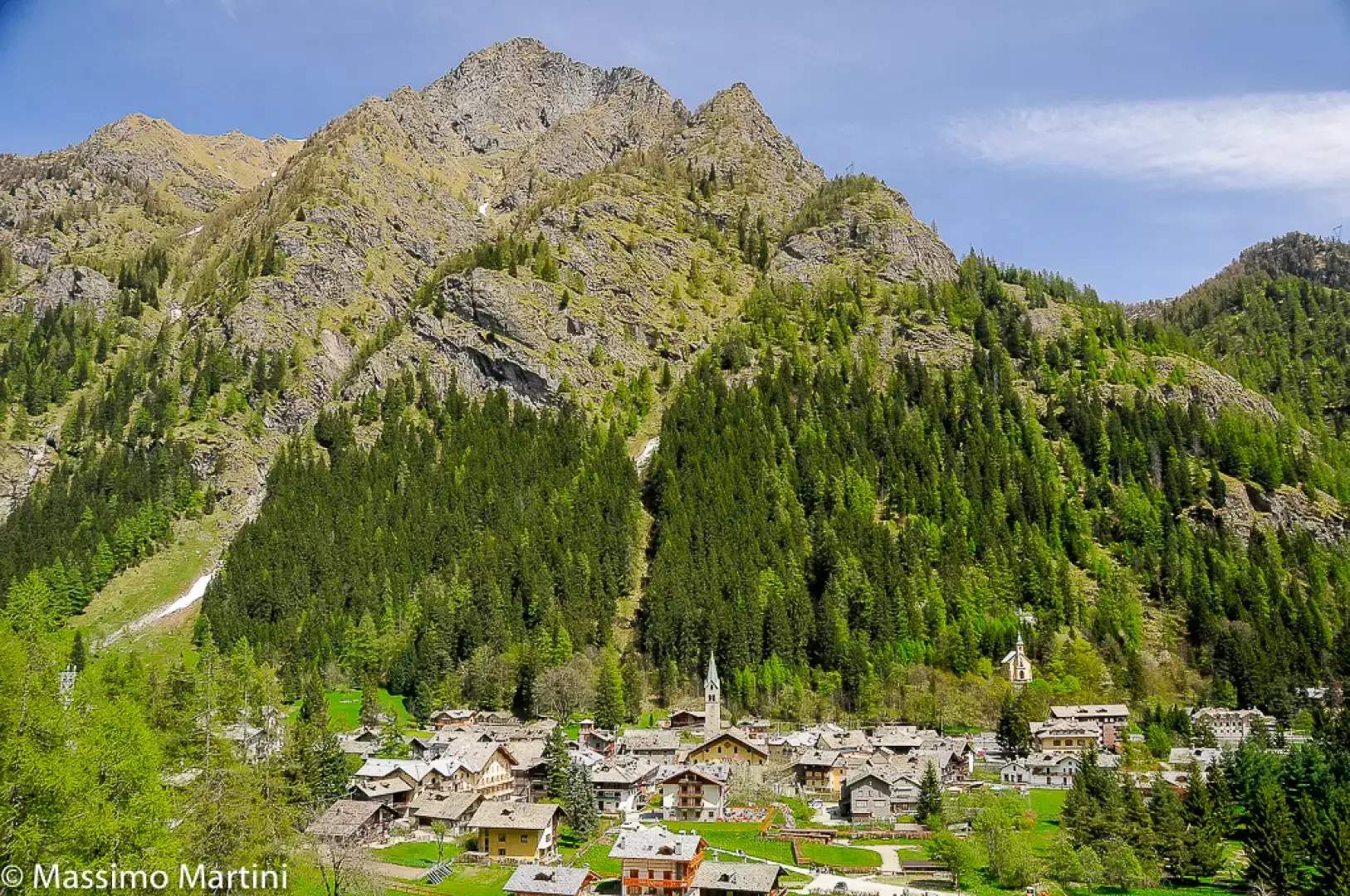
It is the main municipality in the Lys valley, which is also known as the Gressoney valley (a toponym also shared with the municipality of Gressoney-La-Trinité, with which it was united until 1767).Description
The main peculiarity of this country is its population, which belongs to the Walser ethnic group, speaking titsch (an archaic variant of Alemannic). This has obviously determined their entire history, both religious and civil: coming from northern Europe via the high Alpine passes, the Walser have always maintained links with their homelands, both as seasonal emigrants and as traders. In fact, the valley was known beyond the Alps as Krämertal or Merchants' Valley. Surrounded by the high peaks of the Monte Rosa group, Gressoney did not take long to become a popular tourist destination: the best known of the 'first hour' holidaymakers was undoubtedly Queen Margherita, wife of the King of Italy Umberto I. The castle that her husband donated to her in 1904 has been preserved; now owned by the regional administration, it is the venue for exhibitions and concerts. Obviously, modern mass tourism has also reached Gressoney, which has become a very important centre both for summer holidays, thanks to the numerous hikes and ascents of all levels of difficulty, and above all for skiing, thanks to the vast Monterosaski area and the cross-country skiing trails.
.Information
Area: 69.63 square kilometres
Altitude: 1385m
Maximum elevation: Grey Head (3315m)
Number of inhabitants: 815
Name in dialect: Gressoney Sen Dzan
Inhabitant name: Gressonards - Gressonar, Gressonarde
Patron Saint: Saint-Jean-Baptiste (24 June)
Internet site: www.comune.gressoneystjean.ao.it
Webcam:
Bordering municipalities: Ayas, Brusson, Gaby, Gressoney-la-Trinité, Rassa, Riva Valdobbia
Villages and hamlets:
Alpeggi:
Photo gallery
