Anniviers

Access
The access to the municipality is mainly from Sierre, via the cantonal road up the valley. The locality is connected to the Swiss railway network with a station in Sierre, served by postal buses to the various Anniviers villages. The nearest airports are Geneva and Sion, which can be reached by car or train.
.Introduction
Anniviers is a large mountain municipality located in Canton Valais in the south-west of Switzerland, extending into the Val d'Anniviers side valley of the same name, a tributary of the Rhone. Created in 2009 from the union of six historical localities - Ayer, Chandolin, Grimentz, Saint-Jean, Saint-Luc and Vissoie - it combines picturesque villages, extensive forests and high Alpine peaks. The area, which stretches from an altitude of 500 m in the valley bottom to over 4,000 m in the surrounding peaks, is renowned for both summer and winter tourism, thanks to a wealth of hiking trails, ski facilities and a well-preserved mountain architectural heritage.
Description
The territory of Anniviers covers more than 240 km², encompassing the entire valley that rises southwards from Sierre to the glaciers and high mountains, such as the Weisshorn (4,506 m) and the Bishorn (4,153 m), which form its natural backdrop. The landscape alternates between terraced vineyards in the lower part, larch forests and alpine pastures at intermediate altitudes, and a glacial environment in the higher areas. The villages, often perched on sunny slopes, preserve wooden buildings darkened by the sun and snow, examples of traditional Valaisian architecture.
The history of the valley is linked to communities of breeders and farmers who, for centuries, practised a self-sufficient life thanks to grazing and summer mountain pasture. During the 19th and 20th centuries, with the arrival of the first accommodation facilities and carriage roads, tourism began to develop and has now become the main source of income. Even today, the local culture is reflected in traditional festivals, religious processions and the preservation of the francoprovençal patois.
The contemporary economy is predominantly based on tourism: in winter, the resorts of Saint-Luc/Chandolin and Grimentz/Zinal offer hundreds of kilometres of alpine ski slopes and cross-country skiing and snowshoeing routes, while in summer, hiking trails lead to alpine lakes, mountain huts and spectacular views of the Valais peaks. The valley is also a starting point for alpine ascents to prestigious destinations such as the Weisshorn and Dent Blanche. In addition to tourism, there are agricultural and craft activities related to the production of alpine cheese and wood processing.
In terms of culture, Anniviers is home to ethnographic museums and exhibition spaces, including the Grimentz Museum and the Saint-Luc Museum dedicated to astronomy, thanks to the presence of the François-Xavier Bagnoud observatory. Festivals and traditional festivals enliven the calendar, such as the Désalpe (return of the cattle from the alpine pastures) and religious celebrations in the various villages.
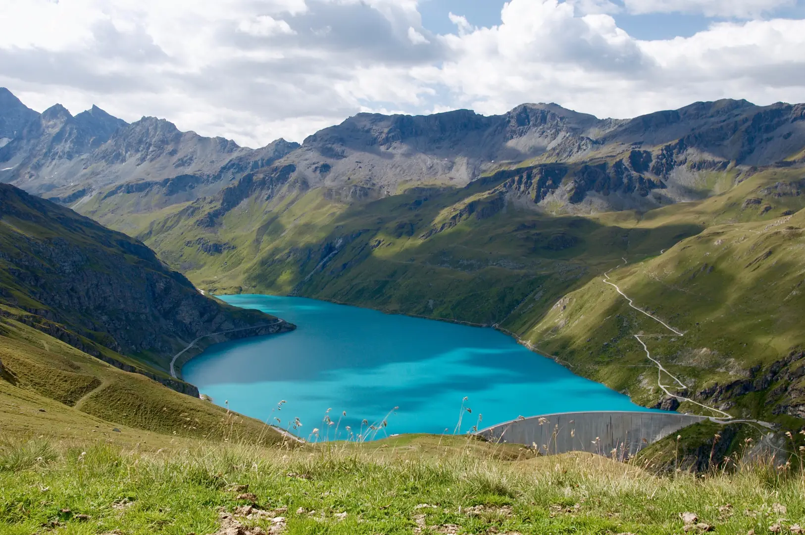
Hikers will find itineraries for all levels, such as the Defence Post Path, which passes through old military fortifications, or the crossing to the Turtmann Valley. Well-known vantage points include the Pas de Lona, Lac de Moiry with its dam and the Saint-Luc Astronomical Nature Trail. Numerous alpine huts - such as the Cabane de Moiry or the Cabane du Grand Mountet - offer support for multi-day ascents and treks.
.Information
Area: 243.15 square km
Altitude: 1678m
Maximum elevation: Dent Blanche (4357m)
Number of inhabitants: 2611
Name in dialect:
Inhabitants name:
Patron Saint:
Internet site: www.anniviers.ch
Webcam:
Neighbouring communities: Agarn, Chalais, Chippis, Evolène, Grône, Leuk, Mont-Noble, Oberems, Randa, Saint-Martin, Salgesch, Sierre, Täsch, Turtmann-Unterems, Zermatt
Villages and hamlets:
Highlands: