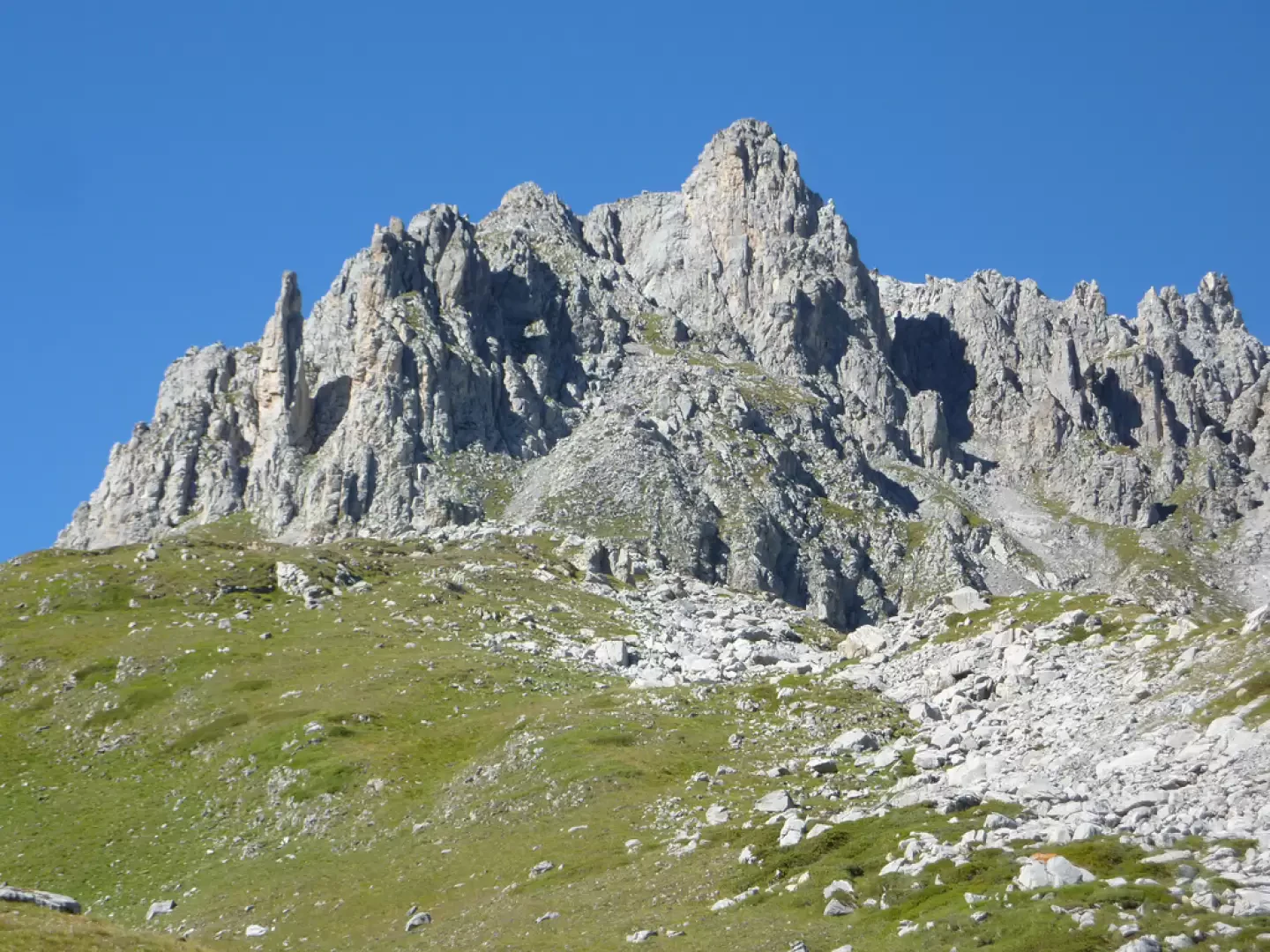
Aiguille du Fruit

Access
This relief, formed mainly of limestone and dolomite from the Briançonnaise cover, bears witness to a complex geological history that is reflected in the rugged morphology of its walls and in the stratifications visible along the slopes. The western slopes overlook the Plan de Tuéda nature reserve, characterised by a rich alpine biodiversity. The eastern face, on the other hand, features vertical walls of light-coloured limestone facing the Lacs Merlet basin, an important area for the observation of plant and animal species adapted to the high-altitude climate.
Mountaineering on the Aiguille du Fruit has its origins in the 19th century: the first documented ascent dates back to 15 September 1886, carried out by Louis Bermont and Jean-Maurice Trésallet, accompanied by Maurice Garçon and François Marie Greyfié de Bellecombe. Subsequently, numerous climbs followed, exploring the most logical itineraries and variants on its ridges and walls, making the summit a point of reference for local mountaineers and visitors alike. The most popular itinerary is the normal route, which runs along the western slope with difficulty rated as F (easy); there are also alpine climbing routes, particularly on the northern and south-eastern faces, rated up to PD+ (slightly more difficult). The toponym 'Aiguille du Fruit' is presumed to derive from the mountain's acute, slender shape ('aiguille' or needle), a term frequently used in Alpine massifs to indicate sharp peaks; the origin of the name 'du Fruit' remains uncertain, perhaps linked to local toponymic references or to agro-pastoral traditions in the valley. In the surrounding areas, the mountain plays a symbolic role in the landscape identity of the communities of Méribel and Courchevel, although there are no specific popular legends known.
The area is easily accessible from both Méribel and Courchevel, both of which are served by paved roads and public transport connections during the tourist season. From the Col du Fruit, which can be reached via marked trails, the main trail to the summit starts. There are no huts directly on the normal route, but the Plan de Tuéda huts and the Courchevel station offer logistical support in the immediate vicinity. The ascent, due to the exposure and the limestone conformation, is recommended in the absence of residual snow and in stable weather conditions; in the winter season, the area can be prone to avalanches.
Introduction
The Aiguille du Fruit is a peak of the French Alps located in the Savoy region, on the western edge of the Vanoise massif. With its characteristic slender silhouette and summit reaching 3,048 metres, it represents the most significant elevation among the ridges dividing the Méribel and Courchevel valleys. It belongs to the Vanoise group (according to SOIUSA classification: Vanoise and Grand Arc Alps) and is bordered to the north-west by the Col du Fruit and, continuing along the ridge, by the Pointe Émilienne and the Col de Chanrouge to the south-east. The location of the summit offers an impressive panoramic view of the surrounding glacial valleys and the main peaks of the Vanoise.
.Description
Information
Quota: 3048m
Alternative name: -
Mountain group: Massif de la Vanoise
First ascent: September 15, 1886 - Louis Bermont, Jean-Maurice Trésallet, Maurice Garçon, François Marie Greyfié de Bellecombe
First ascenders:
First winter ascent:
First ascents in winter: